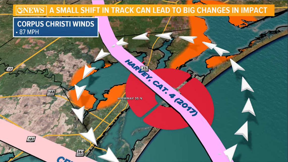
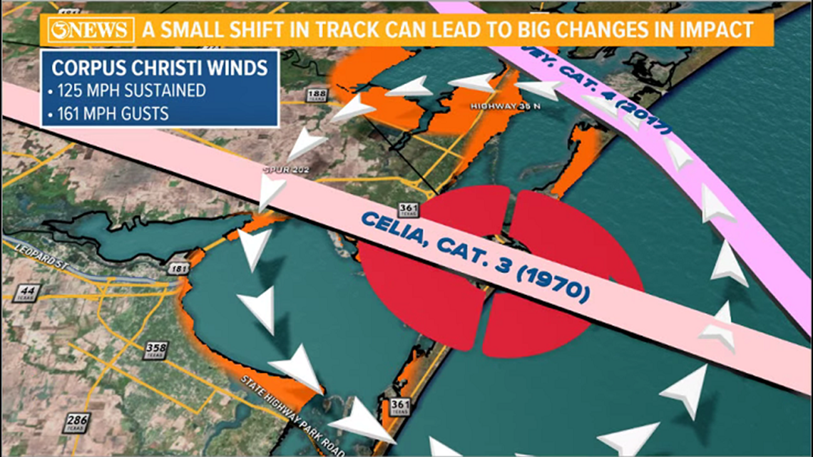
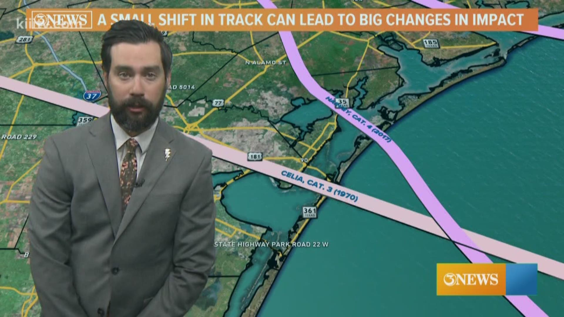
CORPUS CHRISTI, Texas — As hurricanes move in to wherever it is they're headed, the precise forecast track becomes especially important. Whether a storm is north or south of your location in the Coastal Bend and how far away the center is can mean big changes in impacts. In the example here, Hurricane Harvey and Hurricane Celia made landfall 15 miles apart, but their impacts in Corpus Christi were very different.
Hurricane Harvey hit Rockport as a category 4 hurricane, producing 130+ mph winds - gusts up to 152 mph. Some unofficial data suggests winds may have reached as high as 180 mph in the Rockport/Fulton area. Meanwhile, Corpus Christi only observed 87 mph winds.


Contrast that with Celia, a weaker storm, but a more impactful storm for Corpus Christi. Celia came in about 15 miles south of Harvey, making landfall near Port Aransas on August 3, 1970. Making landfall a little closer, Celia produced 125 mph sustained winds and 161 mph gusts in Corpus Christi. The damage was far more extensive than Harvey.


Worst case scenario for Corpus Christi would be a storm moving into southern Nueces County. That would put Corpus Christi in line for the storm's strongest winds and Corpus Christi Bay in line for the highest possible storm surge being produced by the storm.
Every storm is different and presents its own unique hazards. It's important to keep up with current forecasts as these evolve. A small shift in track can mean a dramatic change in possible impacts.
Holt, out.

