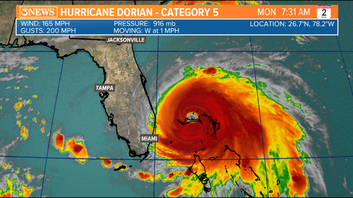
CORPUS CHRISTI, Texas — Hurricane Dorian is crawling at a snail's pace, nearly stalled, over the the Grand Bahama Island this morning. With the lack of a steering current over the next day, Dorian will remain nearly stationary over the Grand Bahama Island, where catastrophic destruction is nearly a certainty. Dorian is a category 5 hurricane, producing 165 mph winds and 200 mph gusts.


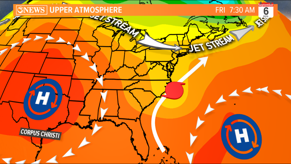
Dorian will eventually sniff out a gap Between the Bermuda high and a ridge in the central part of the U.S. A trough in the jet stream will also help Dorian pick up northerly momentum by Wednesday and later in the week on its progression north.


The National Hurricane Center's 7AM (Sept. 2) forecast cone brings Dorian up the SE Atlantic Coast, possibly interacting with the North Carolina Coast/Outer Banks on Thursday night as a Category 2 hurricane. Regardless of whether or not Dorian makes a Continental U.S. landfall, rough surf, storm surge, destructive winds, and heavy rain will be threats along the Florida, Georgia, and Carolina Coasts. This is not a threat for the Gulf of Mexico.


