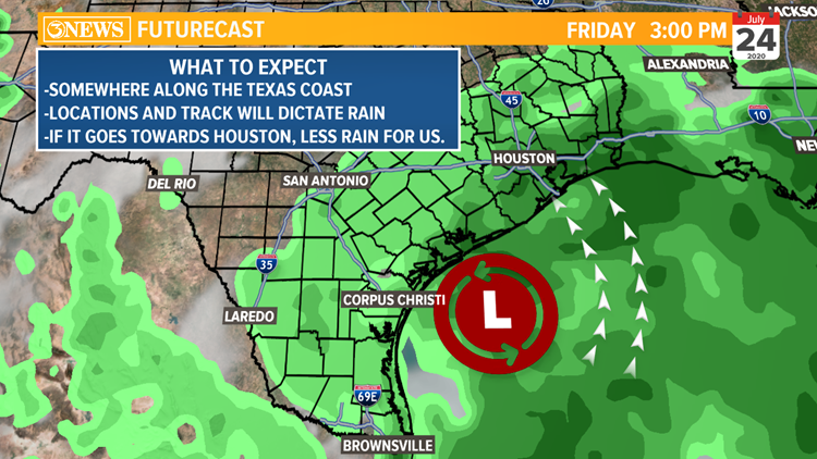
The National Hurricane Center is currently watching two disturbances as of Monday morning. One off the Texas coast and one off the coast of Cuba. The wave offshore is not anything to worry about. If anything, this will increase our sea breeze activity in the late morning and early afternoon. This will keep rain chances isolated to scattered through Thursday.

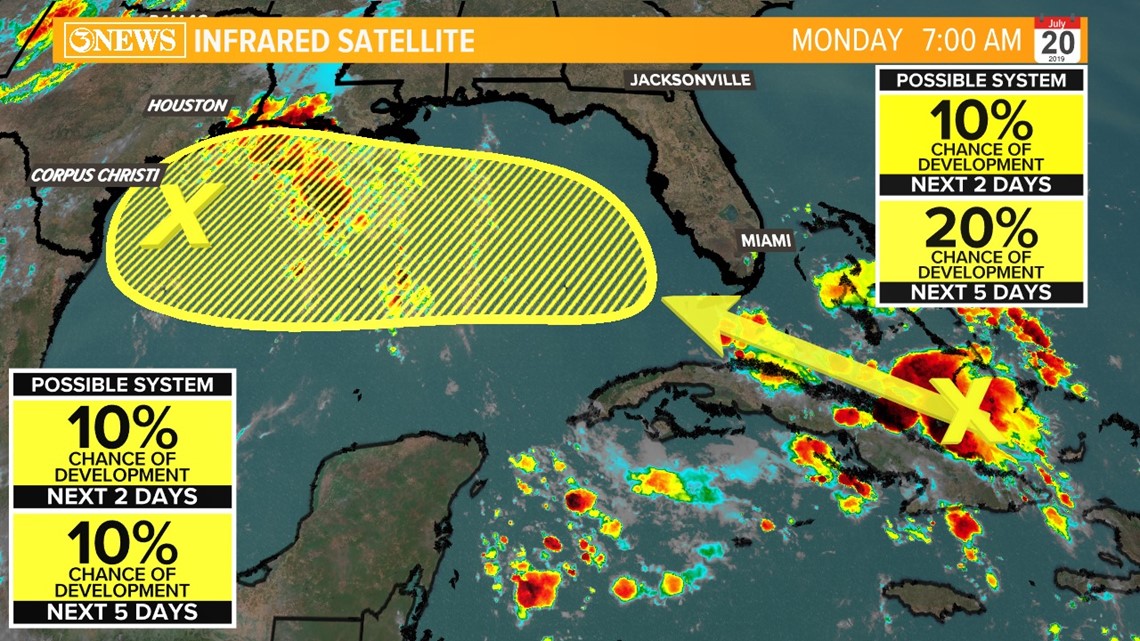
The disturbance off the coast of the Caribbean islands will be closely monitored this week. Conditions are ripe for tropical development. Little to no Saharan dust, little wind shear and sufficient warmth in the Gulf of Mexico. These current conditions point to a strengthening tropical system.
If this tropical wave strengthens into a Tropical Storm, it would be given the name Gonzalo.

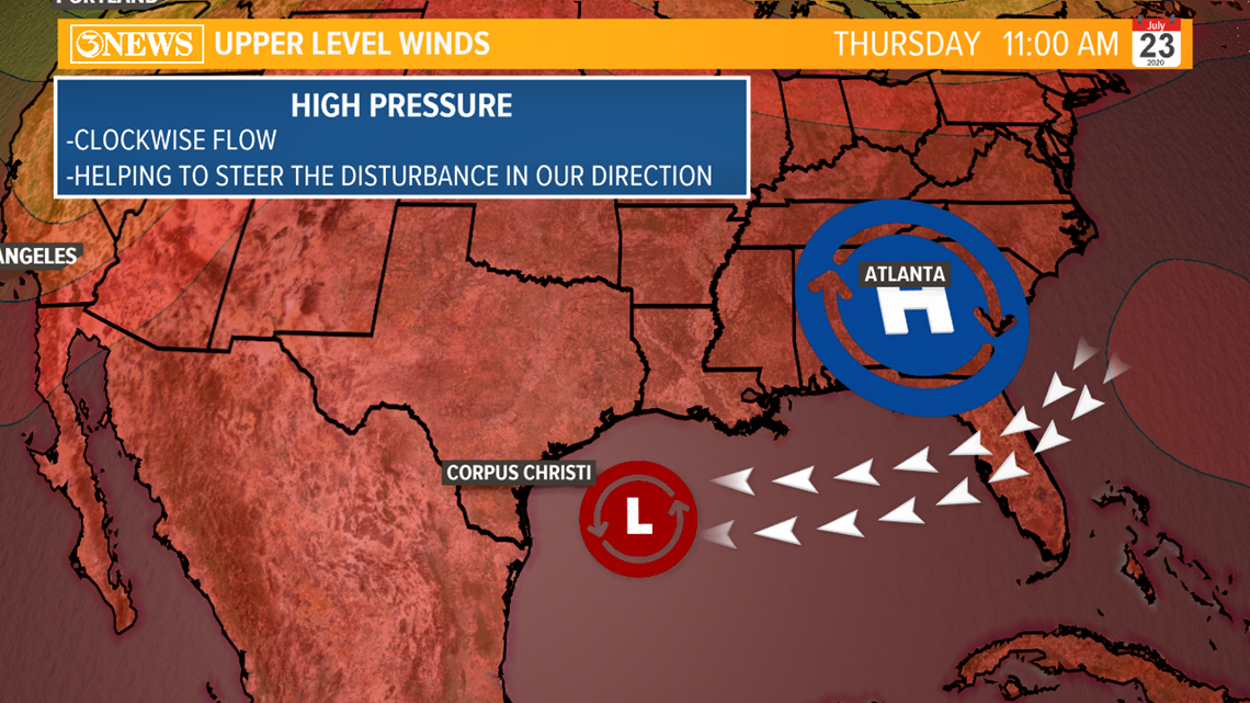
Based on our current weather setup, a ridge of high pressure is dominating the forecast. However, with it not directly over Texas, we're not seeing oppressive heat.
Moreover, the position of the high pressure ridge is centered over the southeast. This will further help guide this tropical wave across the gulf and closer to the Coastal Bend.
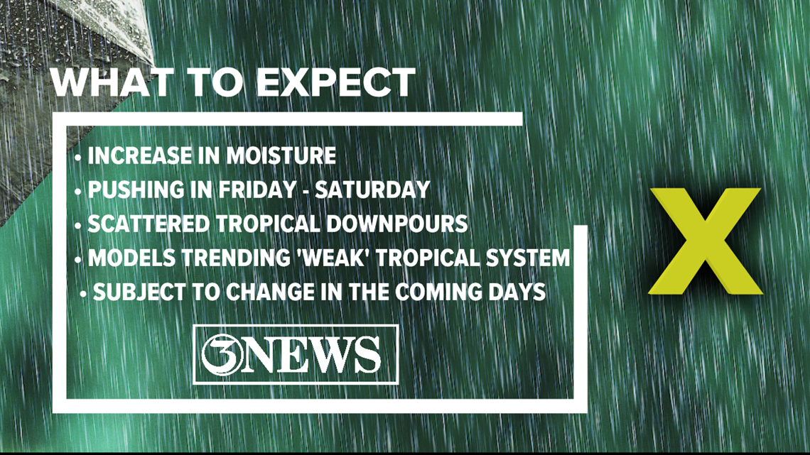
Despite conducive conditions, our model guidance is keeping this disturbance at bay. While most keep this at a tropical wave, some weather models are showing a surface low off the gulf coast. Regardless of development, if this remains a tropical wave or strengthens, this will bring better rain chances by Friday. However, the trend is remaining fairly disorganized and as a tropical wave.
We'll see how it interacts with the Gulf of Mexico.


Now, location and track of this disturbance will determine how much rain we will see here in Corpus Christi. If this tropical wave moves closer to Houston, we'll most likely see isolated to scattered rain.
Whereas if it moves closer to Corpus Christi or even the Rio Grande Valley, this will put us in a position for numerous showers. We'll have to closely watch it as it approaches the Texas coast Thursday.
The biggest takeaway from this forecast is increased rain chances. Starting on Friday, we'll watch the radar for scattered tropical downpours here in the Coastal Bend. We'll continue to watch and monitor this tropical wave.

Ryan Shoptaugh
KIII Meteorologist


