CORPUS CHRISTI, Texas — When thinking about cold front strength, it's easy to base that thinking on the air temperature. "80s?!?!...that's not a cold front!" But cold front strength is really dependent on the difference between the air before and after the front. I like to compare the highs from one day to the next.
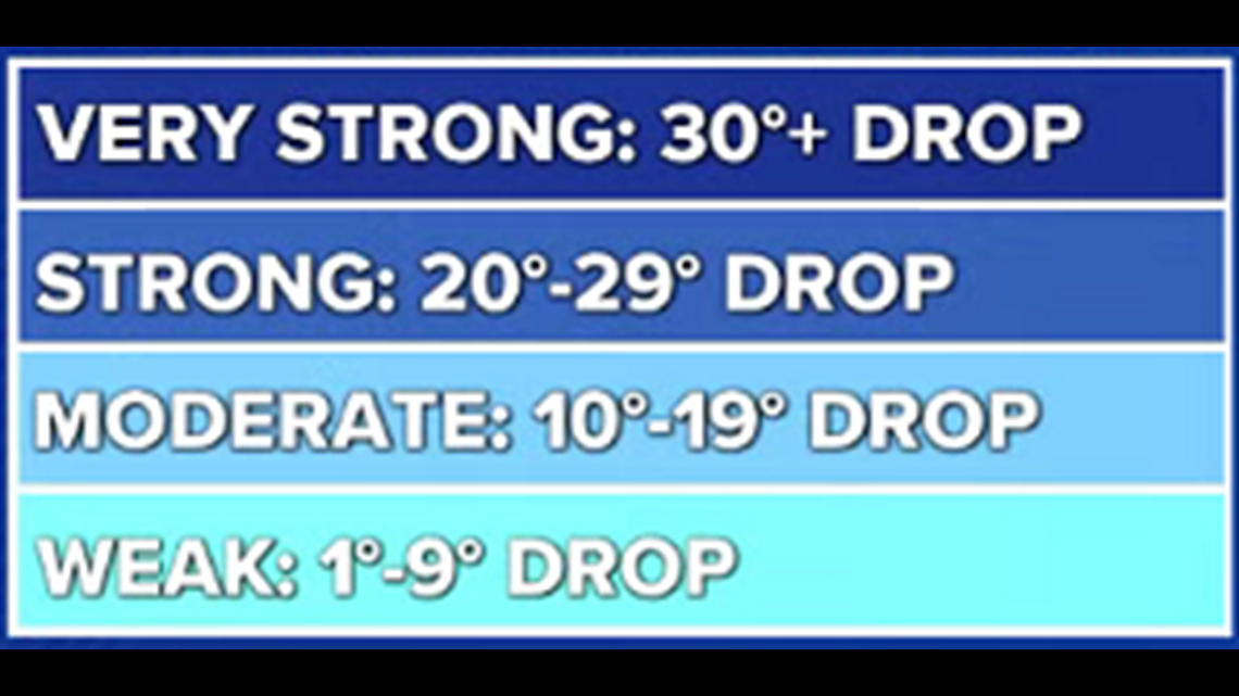
For example, a cold front bringing high temperatures from 100 to 85 would be a moderate cold front. A cold front dropping highs from 45 to 39 would be a weak cold front, even though 30s are obviously very cold.


The little table I made is MY opinion and tailored to South Texas; not a meteorological standard. One more thing - 'cool' fronts are not *technically* a thing even though it's a commonly used term to describe a weaker cold front. It's all cold front.
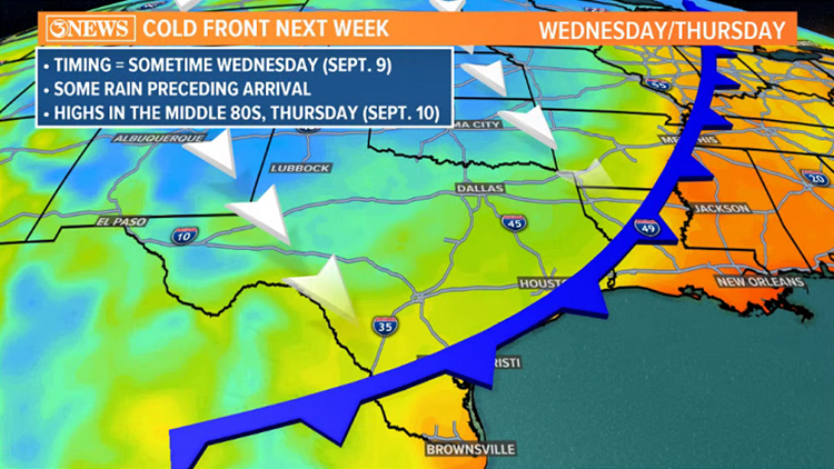
Applying this to next week's cold front, air temperatures are forecast to go from the lower 90s, to the middle 80s. Less than a 10 degree change from one day to the next. That would classify as a 'weak' cold front. Some guidance is suggesting at highs staying in the 70s (GFS) Thursday...that would be a moderate, to maybe strong cold front.


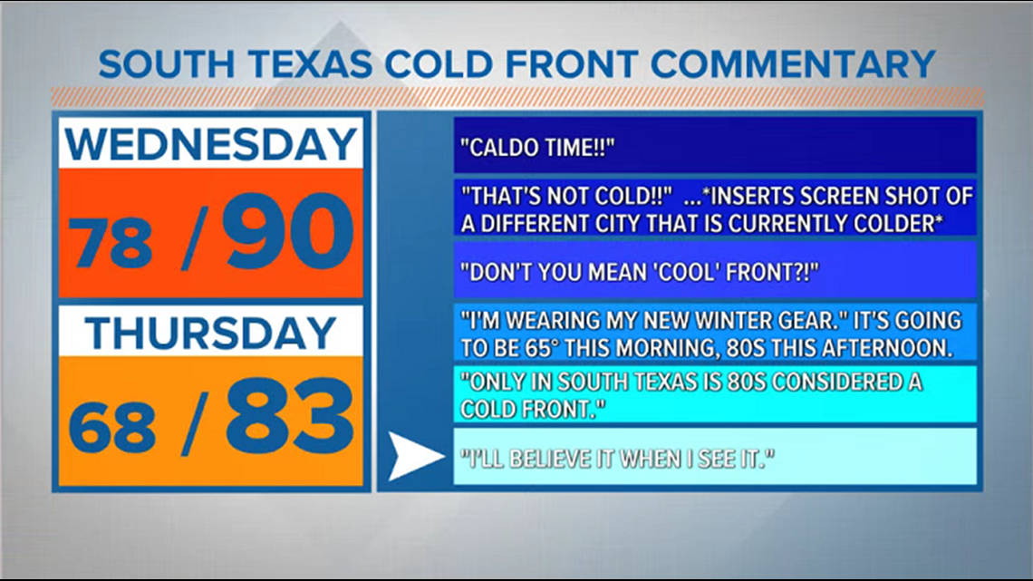
The forecast highs behind the front will need to be adjusted over the weekend as more and better data becomes available and we get to know the system delivering the front a little more. For now, here's my pseudo sarcasm meter based on commentary in South Texas when talking about cold fronts. It's set to "I'll believe it when I see it" for this cold front, now.


- Holt, out


