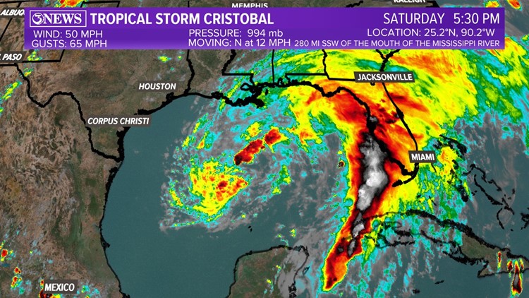
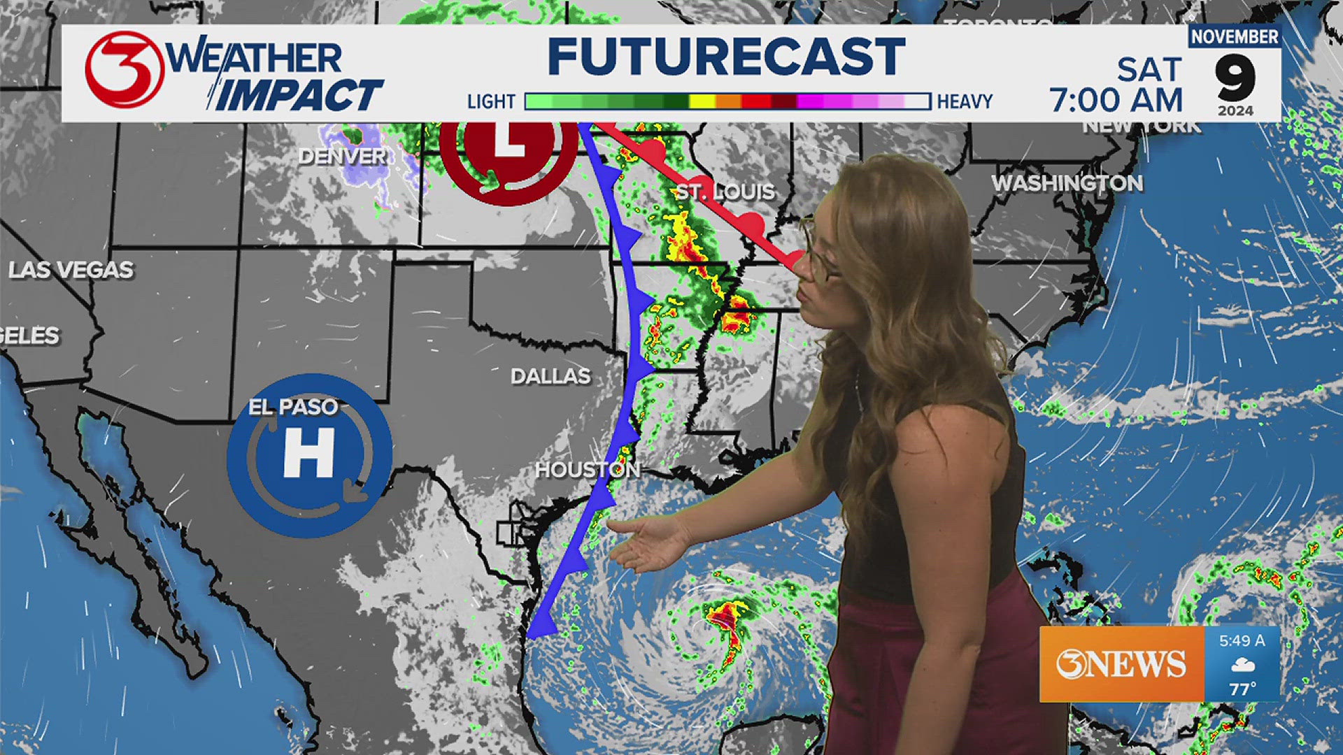
Tropical Storm Cristobal continues to push across the central Gulf of Mexico this evening. With less wind shear and warm gulf waters, Cristobal will drive through a favorable environment as it prepares to make landfall in the next 36 hours.

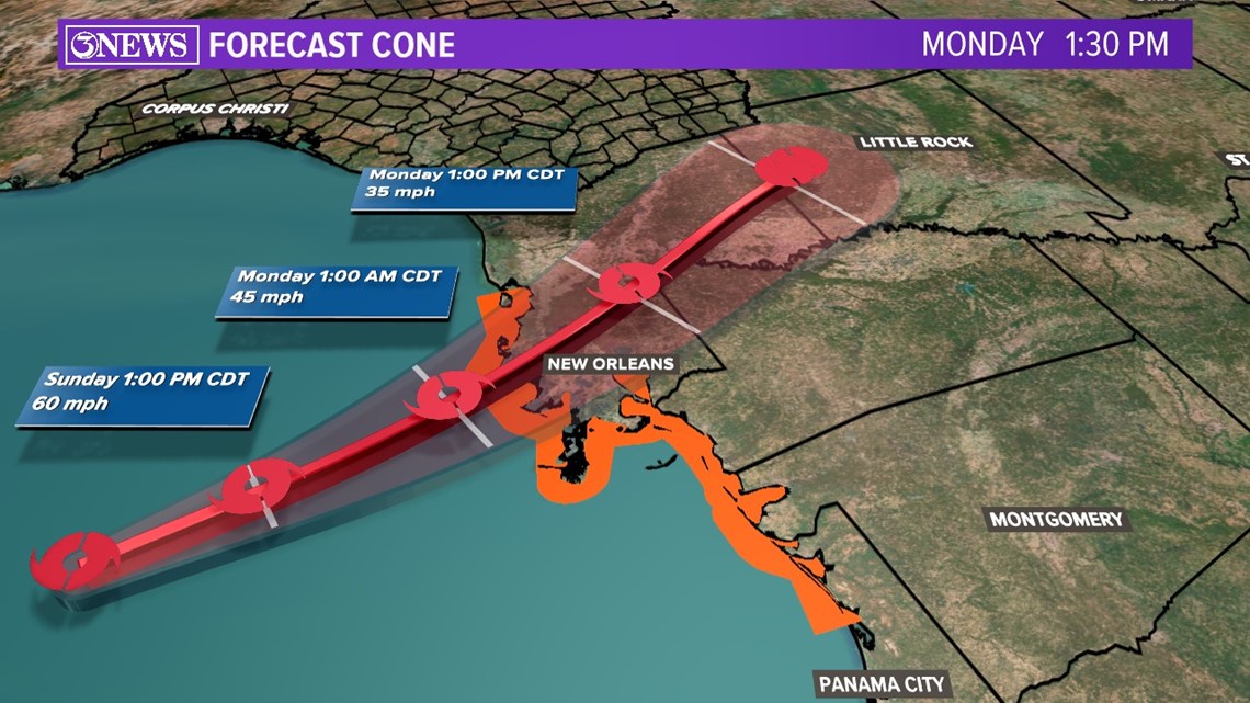
The storms' track hasn't changed much from the last few days. However, the 'cone of uncertainty' has tightened up. This means forecast models have zeroed in on where this storm will hit. This may shift slightly over the next 24 hours but south and southeastern Louisiana is in the cross-hairs for storm surge, strong gusty winds and flash flooding from Cristobal.

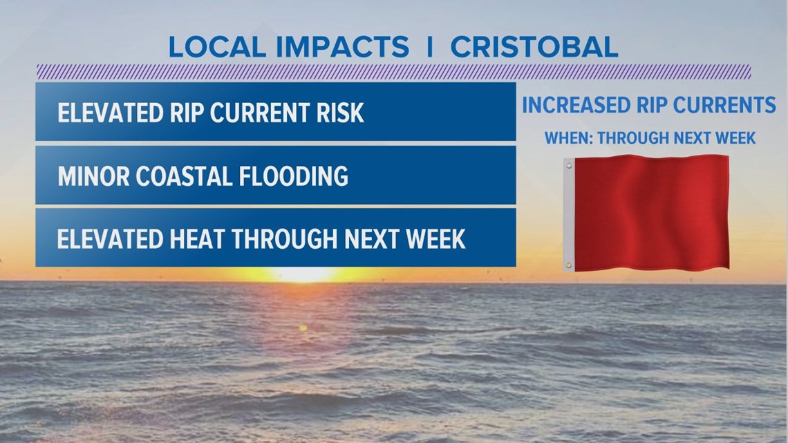
For us in the Coastal Bend, we'll see minor impacts being on the western side of the storm. Expect minor coastal flooding which means with high tides, water along some beaches may reach the dunes. Something to keep an eye on when making plans. Also, increased risks for rip currents which can be very dangerous.
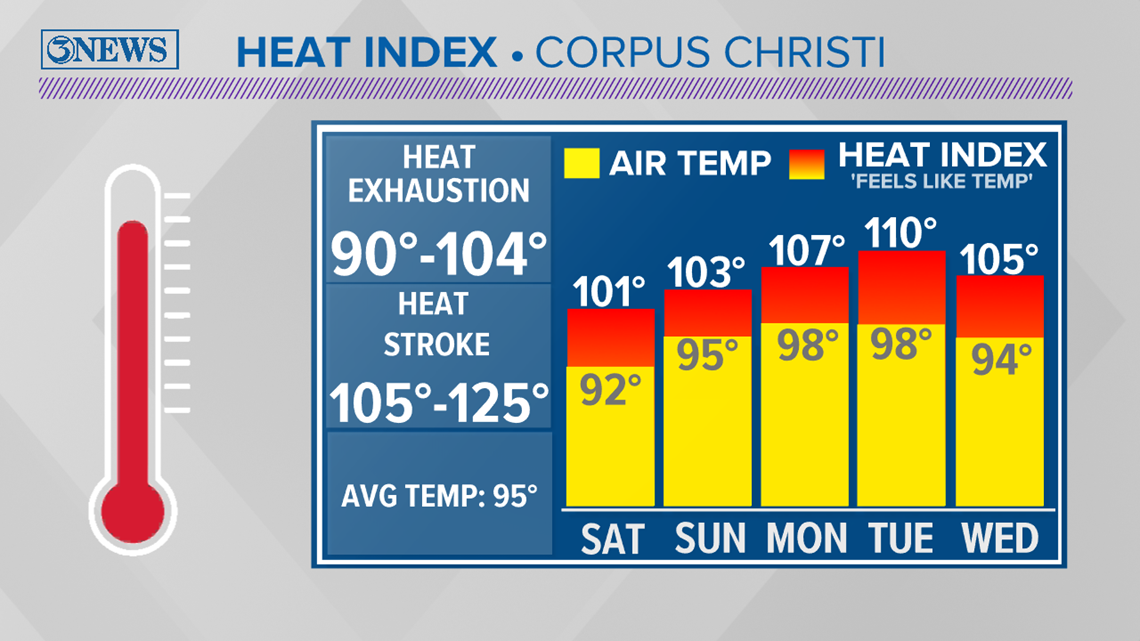
As it pushes northward and weakens over land, we'll continue to stay on the backside of this storm. This means a lot of sinking and drying air in the atmosphere. This translates into HEAT. In fact, every day into next week, days will get hotter and hotter. Take a look at the forecast.

Tropical storm Cristobal is the third named storm for our Atlantic hurricane season. Keep in mind, it is only the first week of hurricane season. This storm will bring us minor effects and increased heat. However, the next storm may bring more. Keep up with the forecast.


