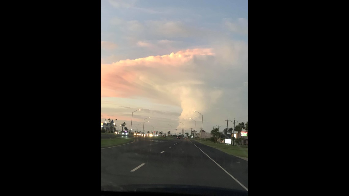
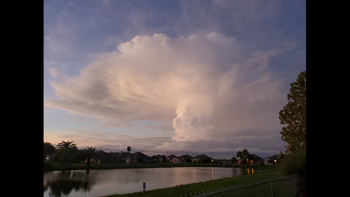
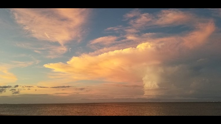
CORPUS CHRISTI, Texas — On the evening of September 17th, many of you saw this cloud, north of Corpus Christi, near Copano Bay. This was a thunderstorm wrapping around the extreme south side of the counter-clockwise spin of Tropical Depression Imelda. This is how it looked on radar; pretty small and innocent looking.


The pictures we received yesterday were viewing the storm from the vantage point of Corpus Christi and it was a sight to see. In the photos, you can see a tall column of clouds stretching into the upper levels of the atmosphere. This is called a cumulus tower. Because it was producing rain and lightning, it's called a towering cumulonimbus cloud. The air associated with this structure was rising to the upper parts of the atmosphere. The highest part of the troposphere (layer in atmosphere all weather takes place in) is called the tropopause - where the troposphere and stratosphere meet. When air hits this area, it cannot rise any farther and is forced to 'spread out'. This is sometimes called the equilibrium level. This spreading of air can give the appearance of an anvil on top of the cloud structure. Many people commented that it looked like a bomb or mushroom top. The rising air/tropopause interaction is why. This structure may have been a little more pronounced yesterday because of the lack of fast upper level winds.


