CORPUS CHRISTI, Texas — A slightly strengthening La Niña weather pattern is forecasted headed into the winter months. This is after months of leaning towards a La Niña in the El Niño-Southern Oscillation (ENSO) climate pattern.

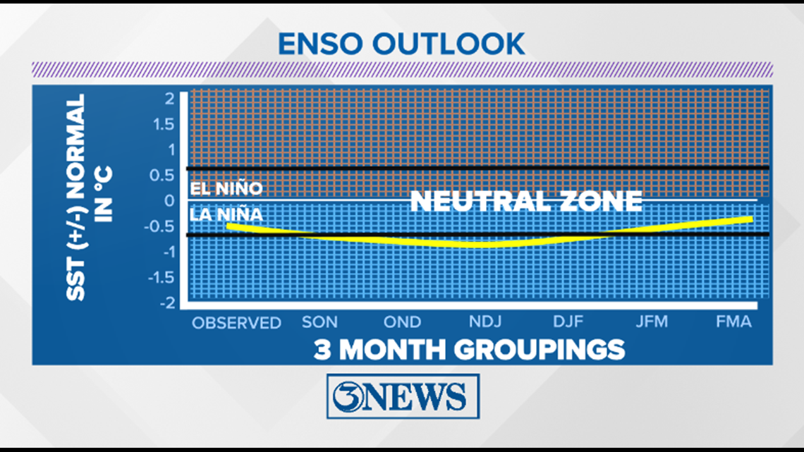
This further strengthening of a La Niña pattern means that waters in the eastern Pacific Ocean are forecasted to be cooler than average the next several months.

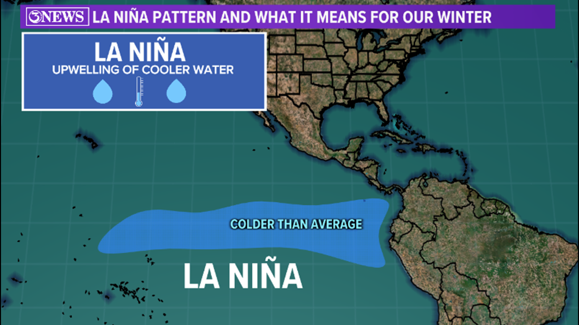
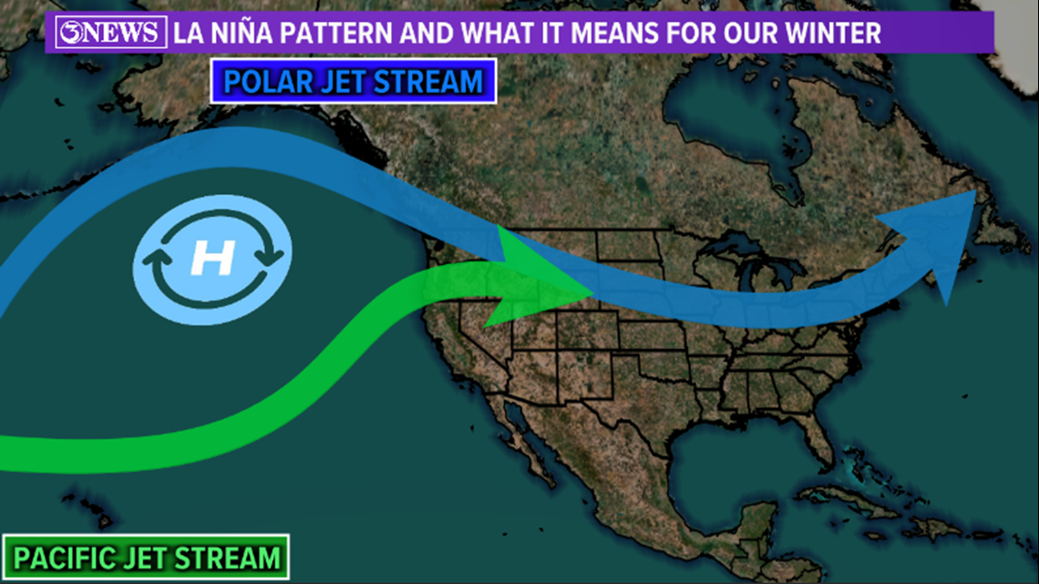
This allows high pressure to develop in the northern Pacific and drives the polar jet stream well up to the north over the Ocean. A pacific jet stream flows into the Pacific Northwest.

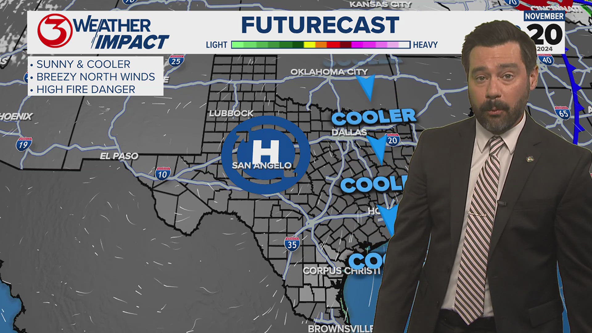
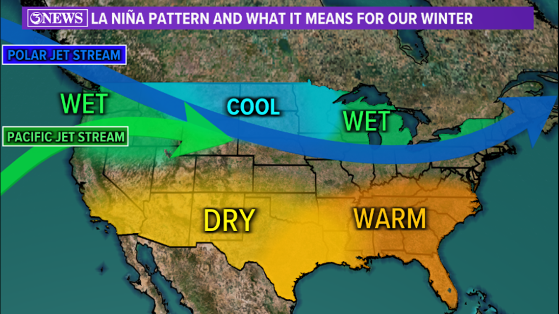
For the continental U.S., La Niña typically means a cooler and wetter pattern in the northern half of the country, while a drier and warmer pattern sets up in the southern United States. For South Texas, La Niña winters are typically warmer and drier on average.

However, this does not mean the entire season will be as such. La Niña winters typically have more fluctuation in jet stream position and temperatures, whereas El Niño winters typically have wetter conditions and less temperature variation. In the 2020-2021 winter, we were in a La Niña pattern and multiple cold fronts made their way towards South Texas. The winter also featured the historic cold snap in February of 2021 that crippled the Texas infrastructure and broke numerous cold and snow records. So although the overall winter may be warmer and drier, La Niña winters can still occasionally be cold and wet.
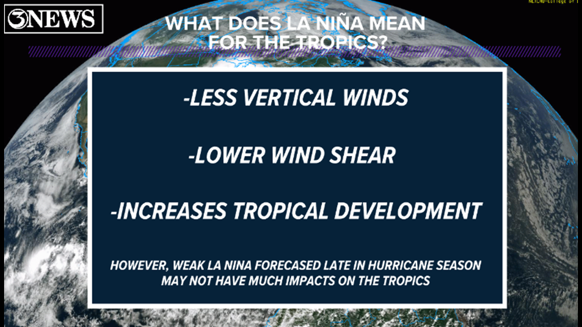
In terms of tropical activity, La Niña typically means increased tropical development potential. This is because of lowered wind shear. This summer, we have been in a very weak La Niña pattern, which is why we have seen slightly above average tropical activity in both the Atlantic and Pacific Basins. This is expected to continue through the end of the season, which ends on November 30th. La Niña will slightly strengthen by the winter months, but is not expected to have much impacts on the tropics because of the time of year.

