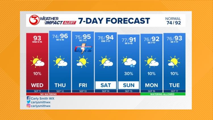
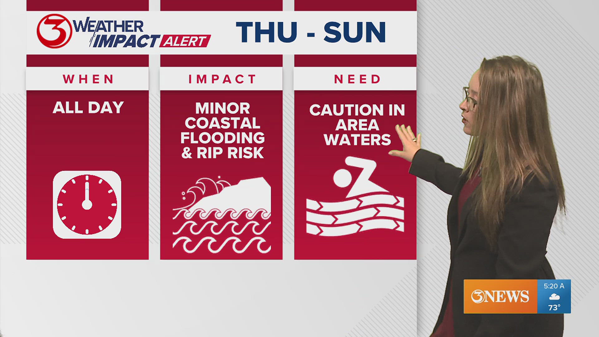
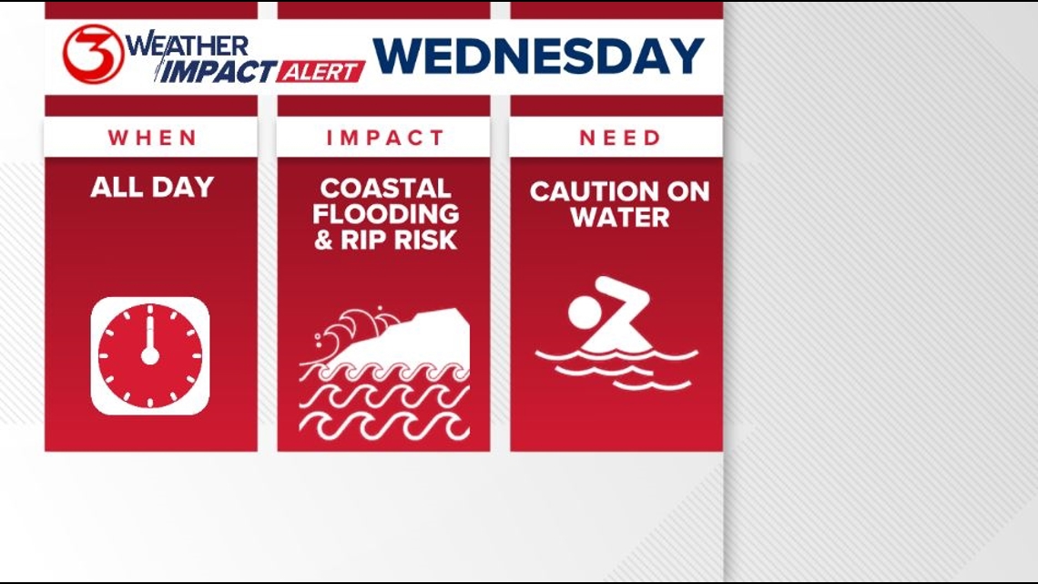
We have a Weather Impact Alert Day posted for Wednesday. The reason: dangerous surf and minor coastal flooding.

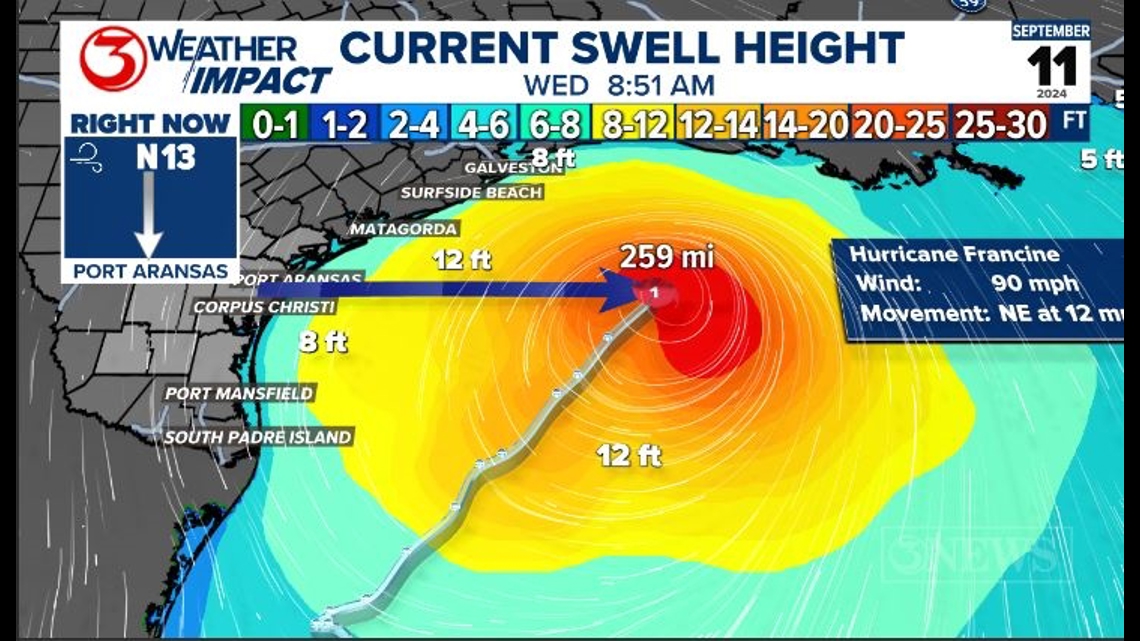
Francine is just over 250 miles from Corpus Christi this morning. It's not a direct threat. However, it will churn the gulf waters, sending rough surf toward our beaches. Wave heights at the buoys this morning were 8-12 feet.

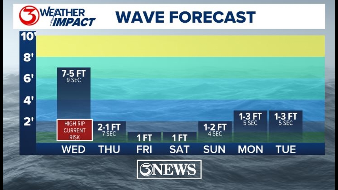
Waves are forecast to be 5-7 ft. at a 9 second period. That will lead to a high rip current risk on Gulf of Mexico facing beaches. Swimming in area waters is discouraged and could be dangerous. The longer the period and the bigger the wave, the stronger the rip current will be that returns the water that washes up on the beach back out to sea. Wind and waves will relax once Francine makes landfall later today.

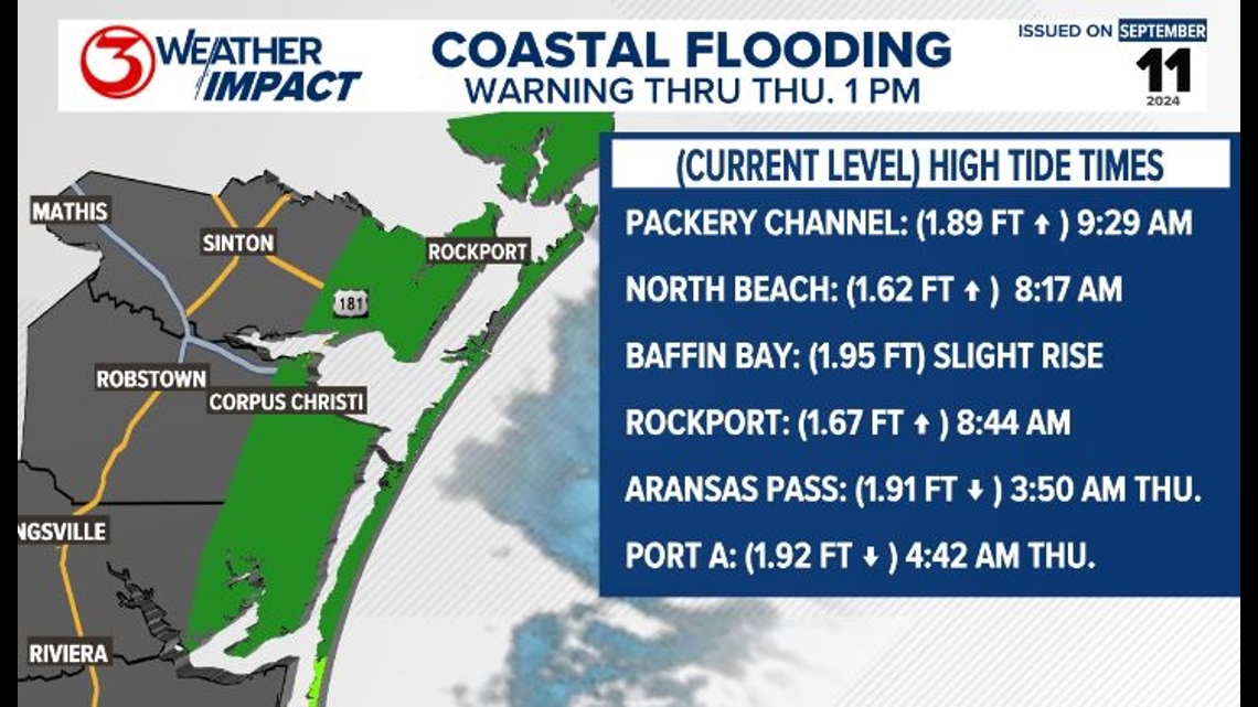
The water has been running higher on our local beaches. This is a combination of higher surf and a north wind. The strong current moving north to south down our coastline that set up with the strong wind yesterday has a force exerted under the surface of the water as well. Because the Earth is spinning, the result in the northern hemisphere is a force to the right of the motion known as Coriolis. Under water, this happens when there is a strong current. The Ekman Spiral is a result and has a net force of water to the right of the wind. The result has been some minor coastal flooding, especially at high tide. Coastal Flood warning continues through Thursday afternoon.

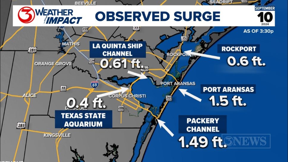
On Tuesday, we observed a half foot to a foot and a half rise in water above average on area coastal locations. There is no reason to think tides will rise much higher than that on Wednesday. Still, some minor coastal flooding will be possible.

You can read more about our local forecast and read our tropical post by following these embedded links.


