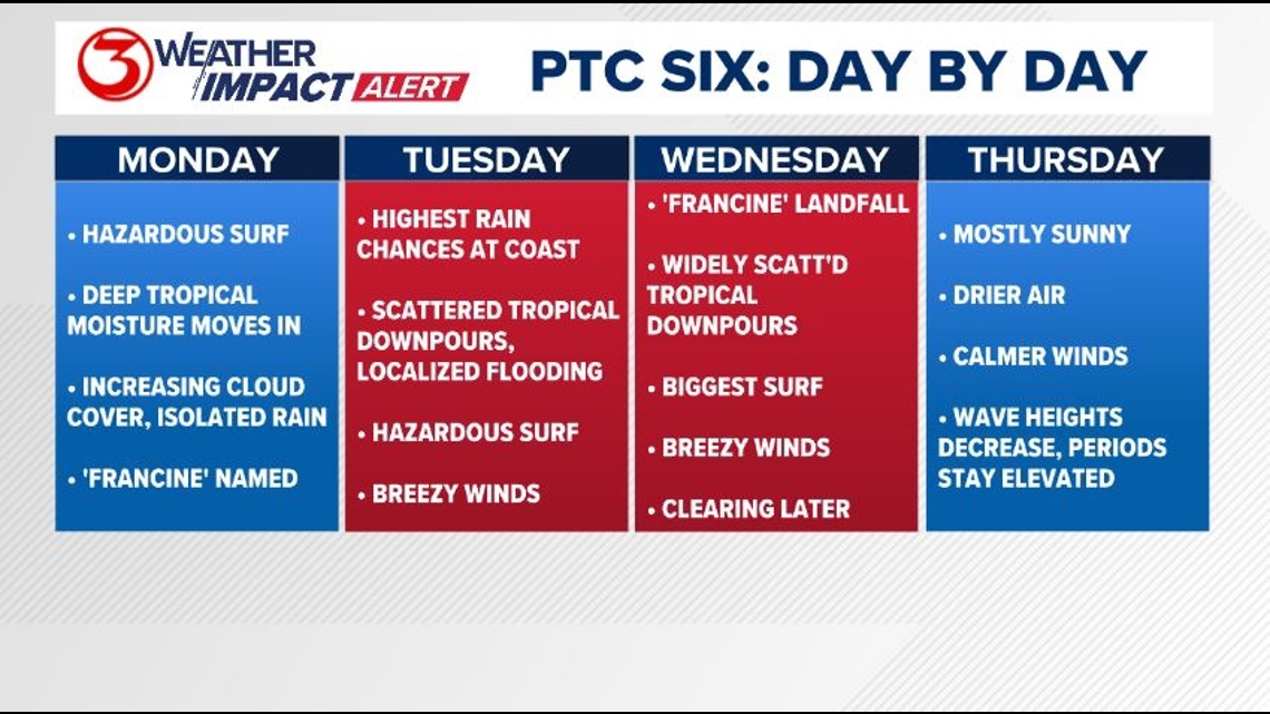
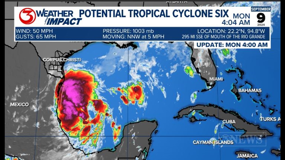
Skies will begin to cloud up and rain chances increase Monday along the coast ahead of PTC Six. PTC Six is currently taking up residence in the Bay of Campeche. It's winds are tropical storm-strength, but it's not organized enough to be called a tropical storm.
That's expected to happen in the next day or so. The next name on the list is Francine.


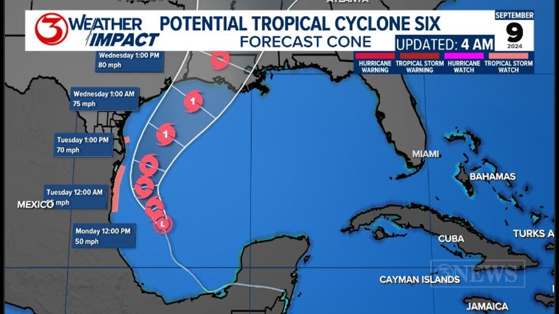
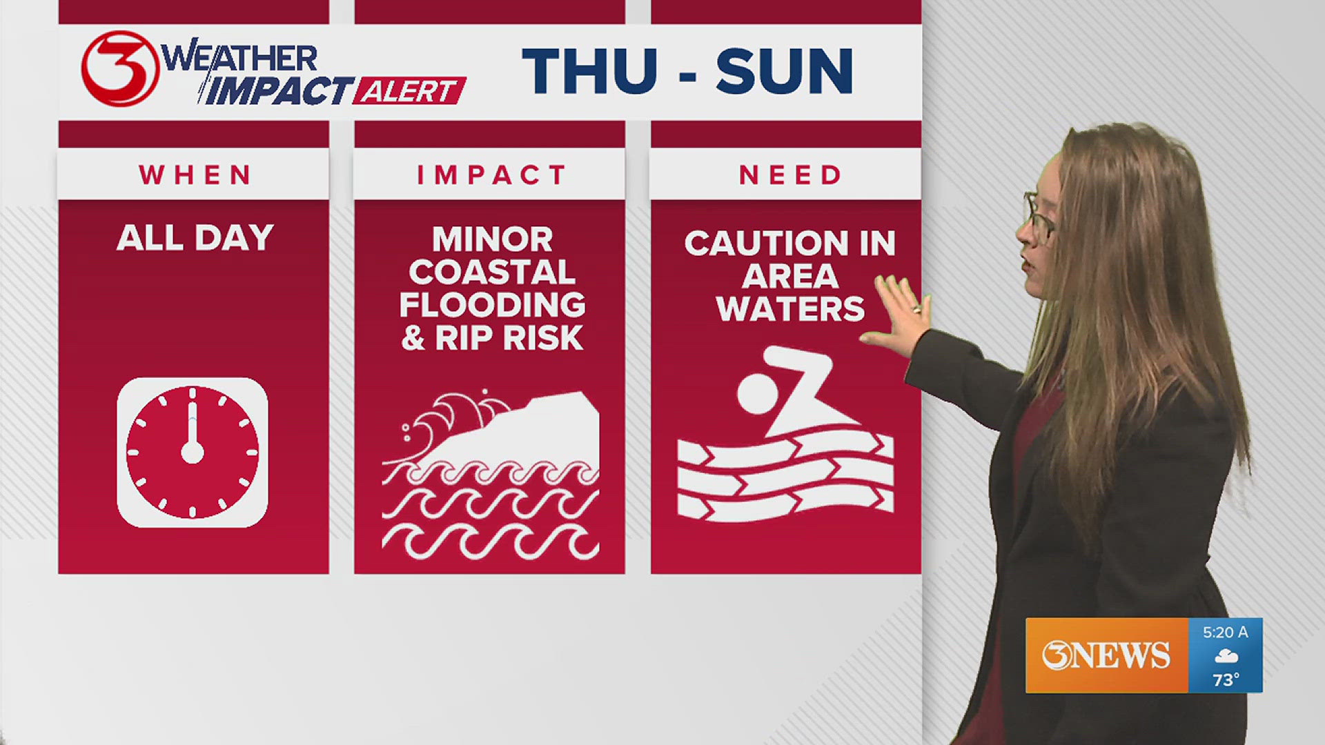
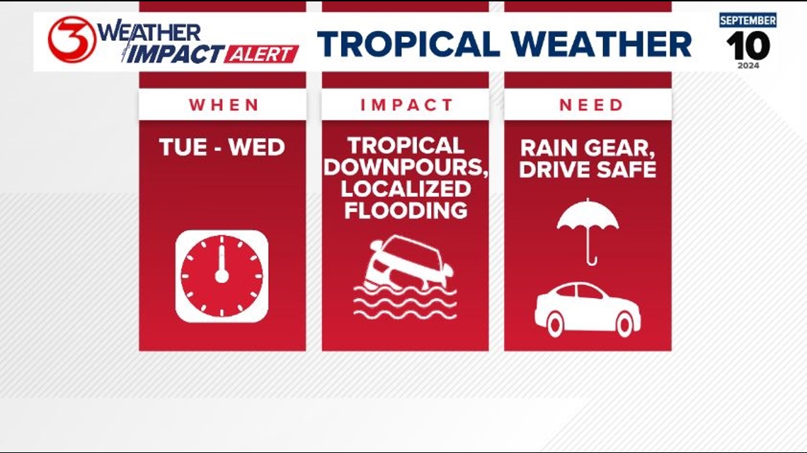
Even if we're not seeing direct impacts in the Coastal Bend, we'll still be watching for heavy tropical downpours and localized flooding, on top of hazardous beach conditions and some minor coastal flooding.
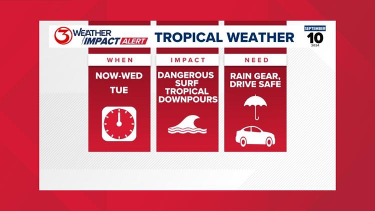
We have issued Weather Impact Alert Days for Tuesday and Wednesday due to the potential for impacts and heavy rainfall those days. We should be staying attentive to the forecast for PTC Six.

MARINE: Marine conditions will not be ideal for the first half of the week. The biggest wave heights are expected Wednesday, as soon-to-be Francine moves by the Coastal Bend. The larger waves may contribute to minor coastal flooding, for which a Coastal Flood Advisory is issued.
RAINFALL: The highest rain chances for our area will still be towards the coast, from early Tuesday through Wednesday afternoon. Inland locations won't see quite as much in terms of coverage. Coastal locations can expect scattered to numerous showers and storms as the tropical system passes us by.
FLOOD RISK: Although the rain chances did trend downward for our area, the Weather Prediction Center is still giving us flood risks Monday and Tuesday. This is due to the fact that all the rain last week saturated our soils, so any additional heavy rainfall could easily cause flash-flooding.
You can read more about our local forecast and read our tropical post by following these embedded links. These articles go more in-depth into the details of the forecast.

